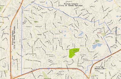
 Above was once the Best Map of Dunwoody - but much has changed!
Ten years ago when I was on the committee to help form the City of Dunwoody, I created an interactive map of all the County tax parcel maps and had them linked into one easy to find location. Since then GIS has come a long way and I wanted to share some new tools for you.
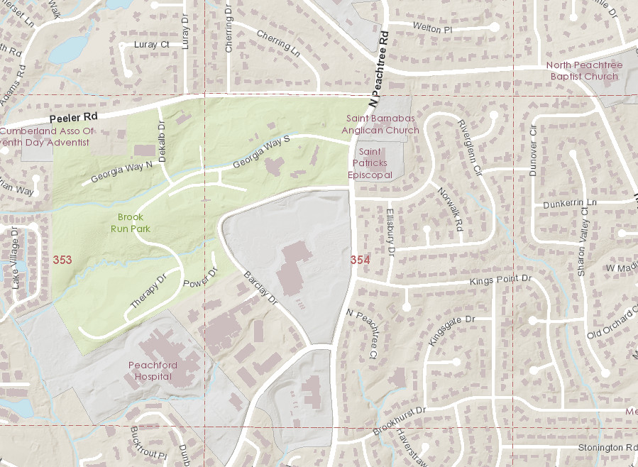
I really like the new DeKalb County Map below as it is easy to use and will quickly zoom down to the parcel level to show you the tax information on each house.
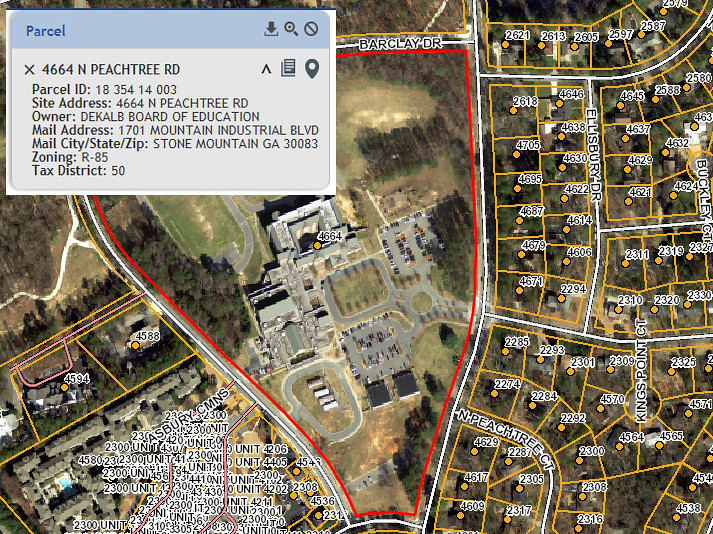
Below is just one of many views within the City of Dunwoody's GIS system as it is very robust with complete Tax Bills linked into every property, flood maps, Council Districts, ect. For more detailed information I use the Dunwoody site but if I want quick basic information I use the DeKalb site.

No comments:
Post a Comment